
The Hookmill Walk
A peaceful journey exploring some of our area's oldest historical lanes, bridleways, and footpaths.
Duration: Approx. 1 hour
Distance: 2.8 miles (7.7 km) circular route
Difficulty: Moderate (mix of public footpaths, woodland trails, and crossing the A322 twice)
Start/End Point: St John the Baptist Church lay-by, Church Road, Windlesham (GU20 6BL)
Before You Start
📌 Note: Parking is available in the church lay-by when there are no services or events. Please stick strictly to the public footpaths, particularly when crossing the Windlesham Golf Course.
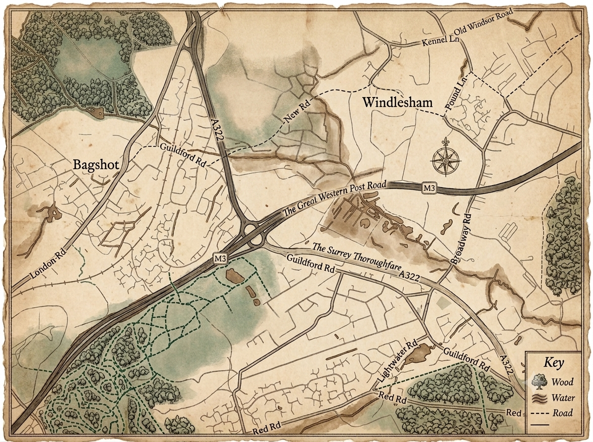
*Map generated via AI for experience purposes only
The Route & History
Leg 1
Woodlands Lane into Blind Lane
Directions: Set off walking along Woodlands Lane towards Valley End. After crossing over the motorway bridge, turn right into Rye Grove. Keep your eyes peeled on the open fields to your left as you stroll down, wild deer can occasionally be spotted grazing here.
Directions: Follow Rye Grove down to the sharp bend marked with a black chevron, and turn left onto the clearly signed public bridleway. This path is historically known as Blind Lane. Follow it for about 100 yards.
Hidden History: Blind Lane wasn't always a quiet path, it was once a bustling, essential thoroughfare used by locals travelling from the Halebourne and Chobham areas directly into Windlesham village.
Leg 2
Through Hook Mill Farm
Directions: Look out for a public footpath sign on your right, pass through the pedestrian gate, and cross the small footbridge. Follow the boundary fence along the edge of the field, heading straight towards the cluster of farm buildings ahead.
Directions: Go through the metal kissing gate and cross over the gravel driveway. Follow the path between the buildings and out through the farm gate. Continue walking straight ahead up the track until you reach the T-junction at Hook Mill Lane.
Hidden History: This track takes you right through the historic footprint of Hook Mill Farm and Manor Farm. While the original buildings have been rebuilt over the centuries, land records here date all the way back to 1535!
Leg 3
Hook Mill Lane to Scutley Lane
Directions: Turn right onto Hook Mill Lane. Follow the road past the properties until it opens up at a T-junction with Woodlands Lane. Turn right here and continue along the road until you reach the next junction, turning left into Scutley Lane.
Directions: Walk down Scutley Lane until you reach a wooden gate on your right marked with a public footpath sign. Go through the gate and follow the path straight across the open field.
Leg 4
The Twelve Oaks Boundary back to the Start
Directions: At the far side of the field, follow the path through a gap in the trees and cross a small stream via the wooden bridge. Continue straight along the edge of the next field, keeping the hedge on your right, which marks the boundary of the Twelve Oaks Estate.
Directions: When you meet the farm road leading into Twelve Oaks, cross straight over it, passing between two large boulders placed in the hedge gap. Take a quick right, then an immediate left, which leads you directly onto the Motorway Bridge. Follow the tarred road across the bridge until it rejoins Woodlands Lane, bringing you right back to your starting point.